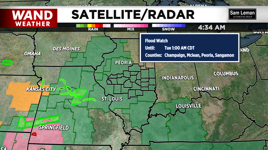
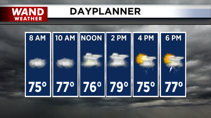


DECATUR, IL. (WAND) - Happy Monday! It will be a wet and warm week ahead. Scattered showers and storms are already moving in from the south. This will be the first round of many throughout the day. Storms will impact Central Illinois through the afternoon and evening. These storms could produce heavy rain, with over an inch expected across many areas. Rain totals could be much higher in the thunderstorms. There is a flood watch in effect across all of Central Illinois until early Tuesday morning.
Storms will keep temperatures mild today, with highs in the low 80s expected. Showers will exit Tuesday morning. The heat and humidity will take over behind the rain. High temperatures will be in the upper 80s and low 90s through Thursday. The heat index will be much higher in the triple digits. There won’t be much relief from the heat overnight. Expect to wake up to the 70s through Thursday morning.
Scattered storms return Wednesday night, but they should exit by Thursday morning. A cold front will move in on Thursday evening, and this will bring in widespread rain. This will lead to cooler temperatures with lower humidity on Friday afternoon. Temperatures will be much cooler this weekend with highs in the 80s.
Copyright 2026. WANDTV. All Rights Reserved.


