

DECATUR, IL. (WAND) - Central Illinois is in for another active weather day Wednesday with a significant severe storm threat north of I-74 and dangerous heat continuing south of a Quincy to Terre Haute line.
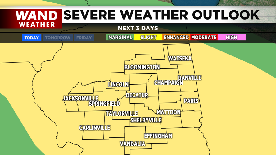
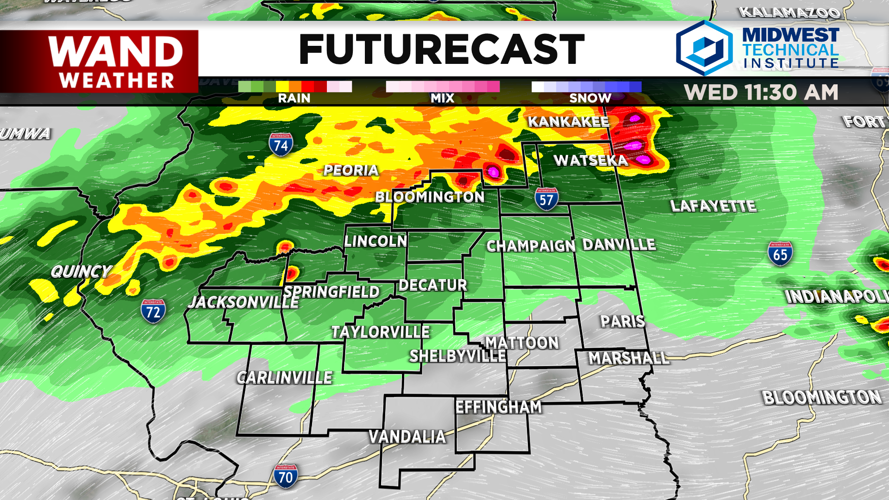
A strong line of storms will develop as a mesoscale convective system in Iowa this morning, pushing along an outflow boundary into Illinois by late morning and early afternoon. The National Weather Service has issued a Slight Risk for severe storms across all Central Illinois counties.
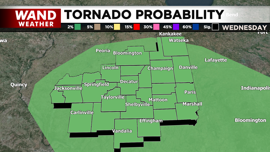
The primary threat from these storms will be damaging wind gusts — localized gusts of 70 mph or stronger are possible. As the day progresses, additional storms could develop through the afternoon as atmospheric conditions become more unstable. These afternoon storms could quickly organize into supercells, bringing the potential for large hail and a brief tornado threat that cannot be ruled out.
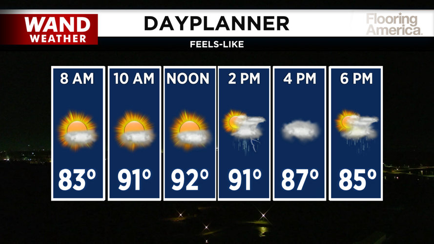
Temperatures will drop into the mid to upper 80s where storms move through, providing some relief from the heat.
Heat remains a serious concern south of a Quincy to Terre Haute line. Excessive cloud cover and convective outflow make exact high temperatures uncertain, but a medium probability (30-50%) exists of heat indices reaching 105 degrees or higher in far southern counties. A Heat Advisory has been issued for this area.
Looking ahead: The active weather pattern continues through Thursday with storm chances ramping up overnight as a weak cold front moves into the region. High temperatures Thursday will reach the mid-80s, but feels-like temperatures will climb into the 90s.
A brief break arrives Friday with high temperatures dropping into the low to mid-80s and a mix of sun and clouds. However, relief will be short-lived. The surface front is expected to move back northward Friday night into Saturday, reintroducing triple-digit heat indices and scattered storms to start the weekend. Feels-like temperatures will return to around 100 degrees Saturday and Sunday.
A stronger cold front is forecast to move through the region Sunday into Monday, bringing showers and thunderstorms with the system. More importantly, this will usher in a much deeper continental polar air mass that will finally break the active convective pattern. Below-normal temperatures and lower humidity are expected early next week, with an extended break from severe weather likely by Monday and Tuesday.
Copyright 2026. WANDTV. All Rights Reserved.