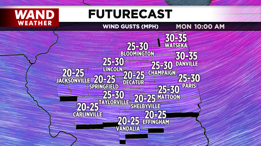
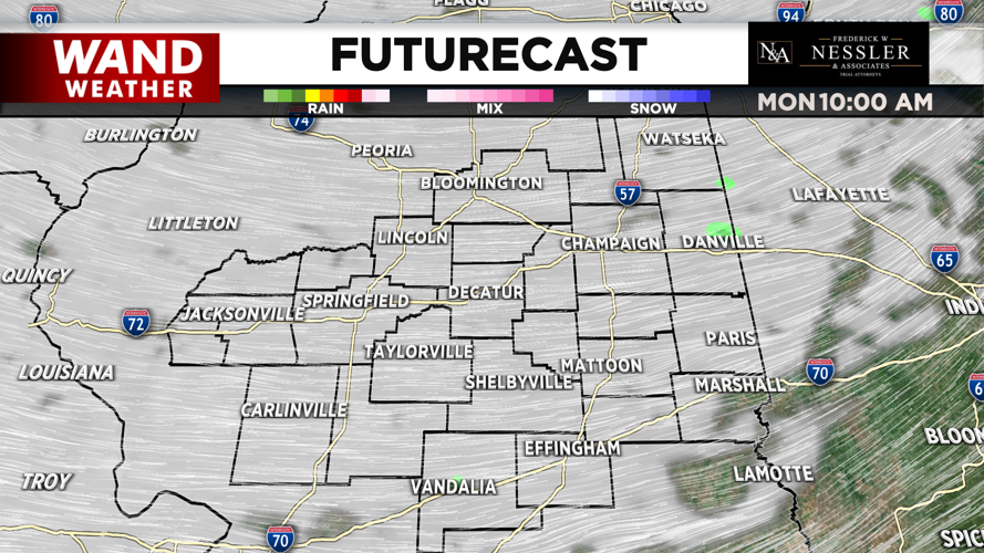
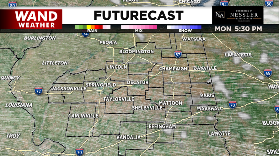


(WAND) - The cloud cover from Sunday night's cold front will linger across central Illinois for most of Monday.
Breezy weather from Sunday will continue into Monday but begin to subside in the afternoon. Temperatures will be seasonable into the mid 60s.
Monday night will be mostly clear and seasonably cool in the mid 40s with light winds.
Warmer temperatures return on Tuesday as highs climb into the upper 70s. The warmest days of the week will be Wednesday and Thursday with temperatures around 80°.
Skies for Tuesday and Wednesday will be mostly sunny with a bit more clouds across the region for Thursday.
A few showers return for Thursday night with scattered showers in the forecast on Friday. Friday will be mild in the upper 70s, with the rain exiting Friday night.
Seasonable temperatures in the upper 60s make a return for the weekend with partly cloudy to mostly sunny skies.
Meteorologist Ulises Garcia
Copyright 2025. WAND TV. All rights reserved.


