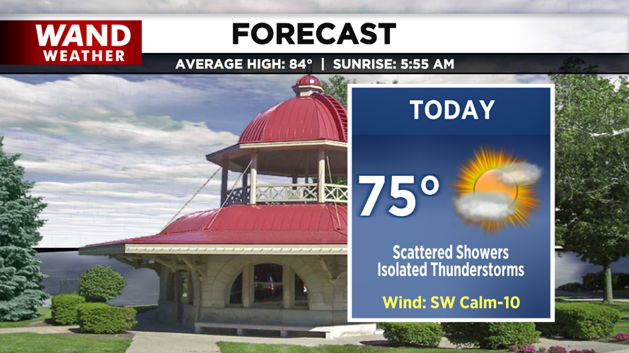

DECATUR, IL. (WAND) - Happy Saturday and Central Illinois! The center of low pressure moves through central Illinois today, meaning scattered showers all day and isolated thunderstorms.

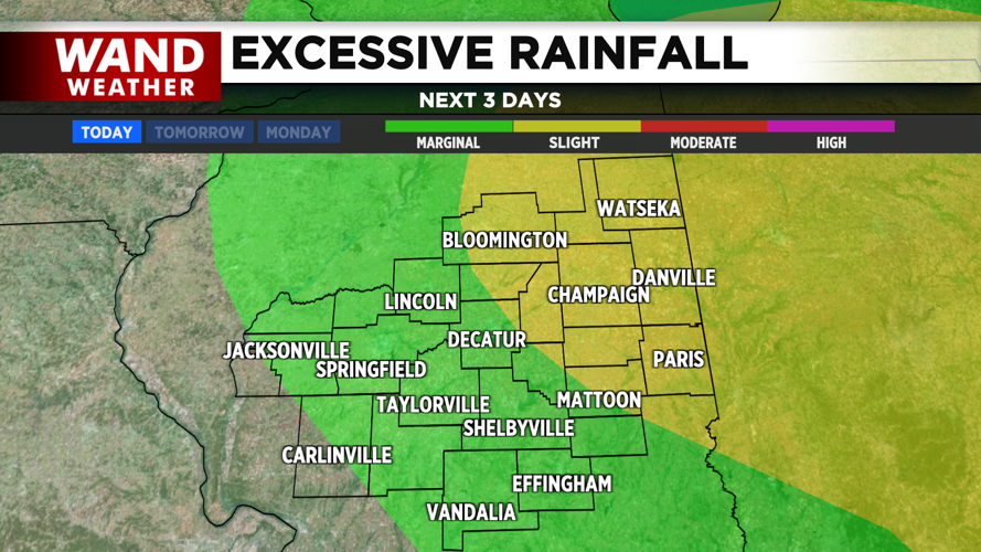
Showers from overnight have become drizzle for many early this morning, but these showers will stick around throughout the afternoon. As the low progresses east northeast, more scattered showers and storms will be possible this evening. Heavy rain between thunderstorms may create flash flooding concerns for areas that have already seen decent rainfall from yesterday.
The passage of the low also brings the factor of low-level rotation, so be prepared for a few cold funnels between isolated thunderstorms. Otherwise, cooler air behind the cold front also brings highs in the mid-70s.
High pressure moving in will create a quick change in pressure, meaning gusty winds late tonight into Sunday. Spotty showers are persistent overnight, lingering into Sunday morning as well. We’ll gradually dry out as high pressure settles in, but we’ll have to wait until the start of the work week for sunny skies to return.
Copyright 2026. WANDTV. All Rights Reserved.


