


DECATUR, IL. (WAND) - An active weather pattern is moving into Central Illinois Friday, bringing heavy rain, strong storms, and the potential for damaging winds that could impact your commute and weekend plans.
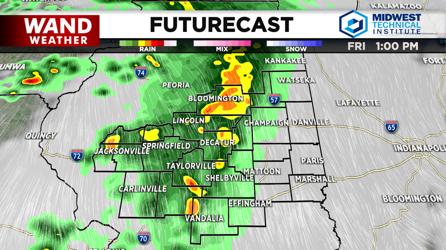
Showers will begin moving into the area late Friday morning, with steady rain expected by 10 a.m. along the I-55 Corridor. Most of Central Illinois will see steady rain by noon. Storm chances will increase significantly through Friday evening.
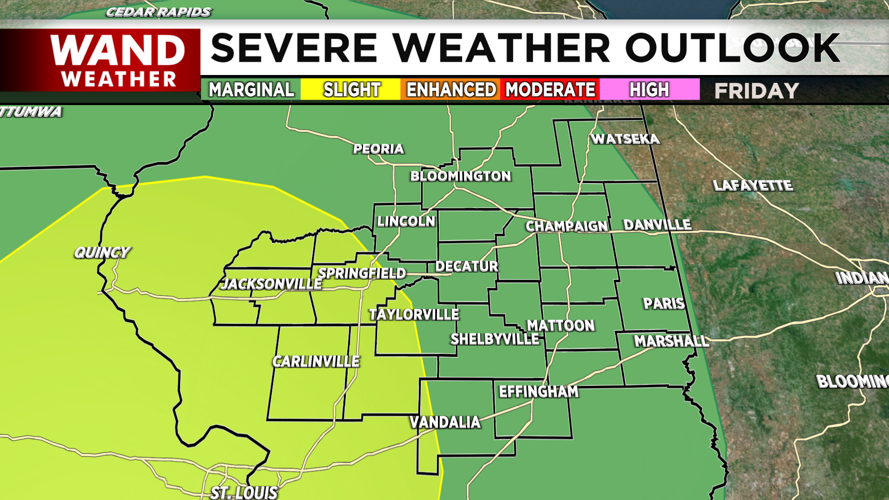
The main threat today: damaging wind gusts up to 60 mph. East Central Illinois is under a marginal risk for severe storms, while western counties face a slight risk. Winds will remain gusty Saturday afternoon and evening, with a 70-100% chance of gusts exceeding 35 mph west of I-55.
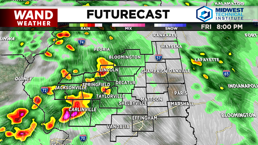
Rain and thunderstorms will continue through Friday night and into Saturday morning. Slow-moving storms overnight could create localized flash flooding over already saturated ground — something to keep an eye on if you live in flood-prone areas.
Expect rain through at least Saturday morning, lingering into the early afternoon. Most areas will see 1 to 2 inches of rainfall, though some spots could receive 3 to 4 inches or more where heavy rain bands repeat.
Temperatures will stay mild through the weekend, with highs in the mid to upper 70s Friday and Saturday. Overnight lows will remain in the mid 60s.
Much calmer conditions return Sunday with a mix of sun and clouds. Highs Sunday and Monday will be in the low 80s, with temperatures warming further into next week.
Copyright 2026. WANDTV. All Rights Reserved.


