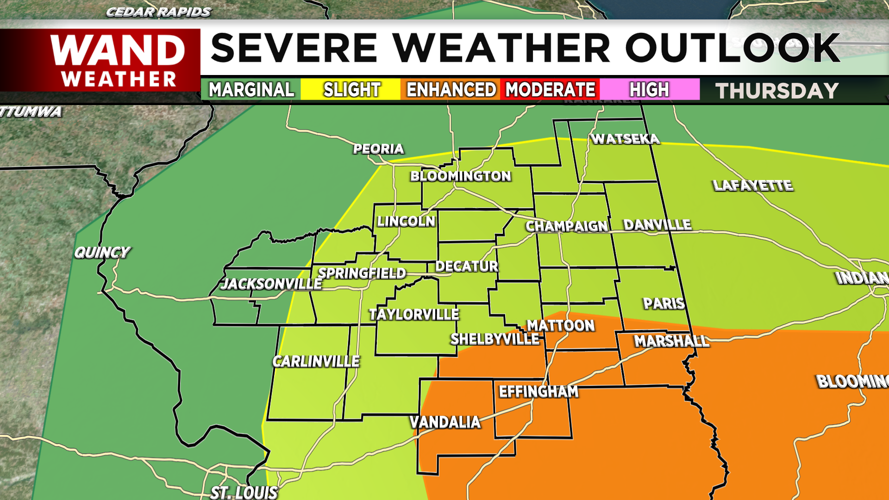
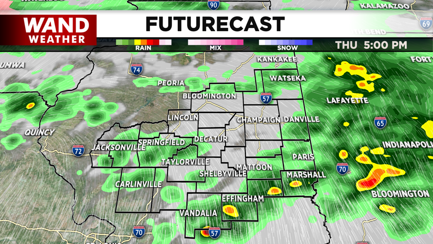


DECATUR, IL. (WAND) - The severe weather risk for Thursday afternoon has been amplified. An enhanced risk (level 3 out of 5) for severe thunderstorms has been issued for areas across Central Illinois. Areas along I-70 and northwards into Shelby and Coles County are under this designation. The biggest threat will be strong wind gusts upwards of 60 mph. Isolated tornadoes will be most likely to form in the enhanced risk zone, but we can’t rule out severe storms across all of Central Illinois this afternoon.
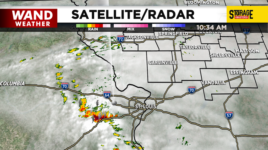
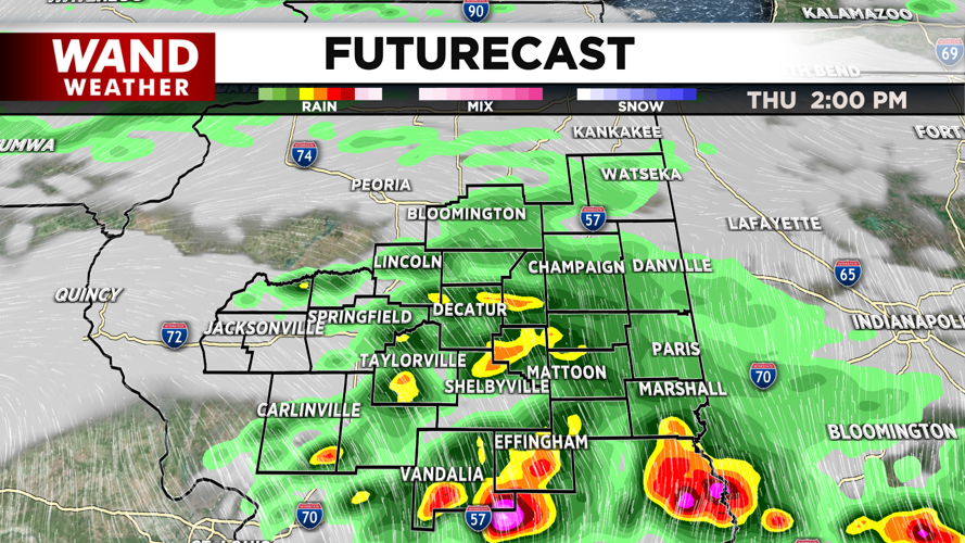
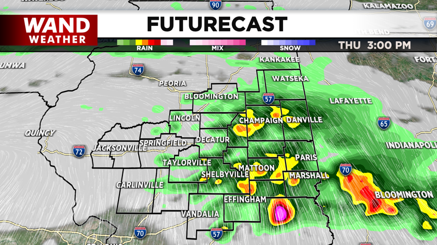
Storms will begin to develop across the area around noon and progress quickly eastward. The strongest storms are expected to impact areas along I-70 between 2 and 4 pm. The strongest storms should exit Illinois around 5 this evening. A chance of some rebuilding storms will linger through 7 this evening.
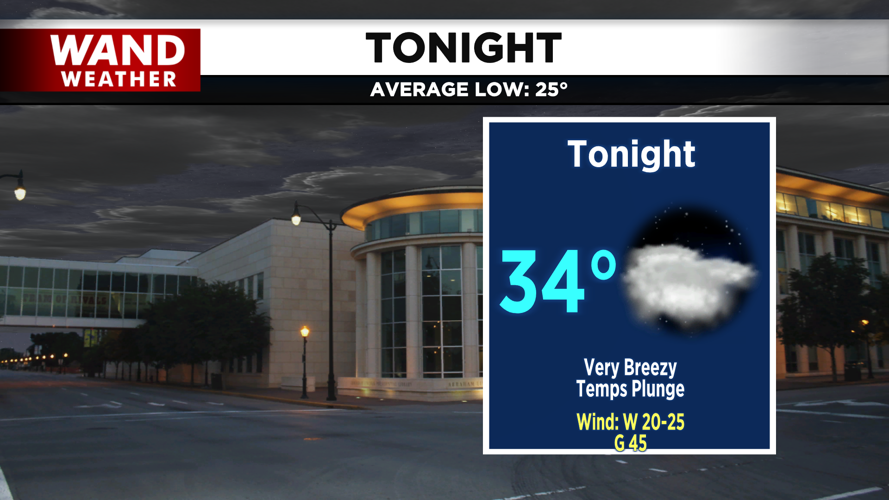
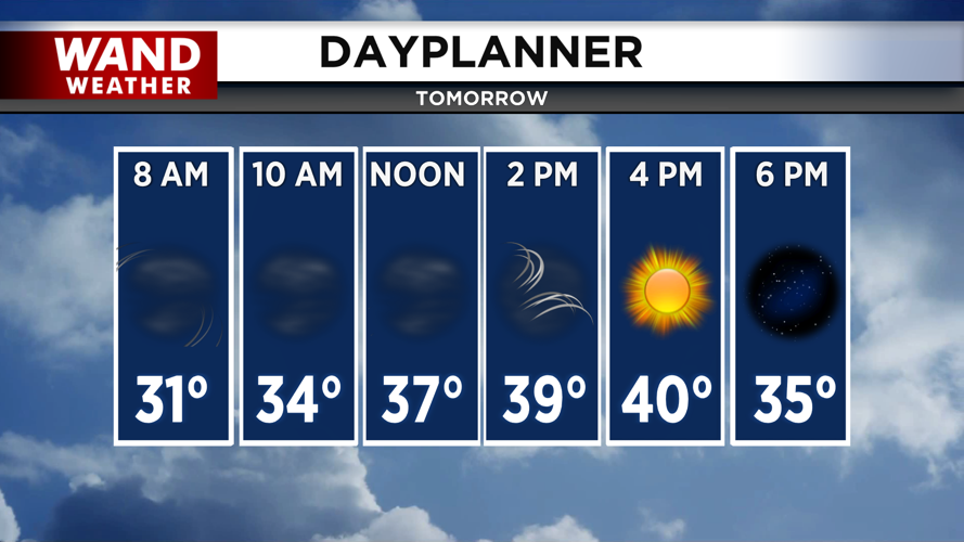
Temperatures will plunge as winds out of the west pick up to 40 to 45 mph. The low-pressure system will slide by just to the north on Friday. Cloudy skies will give way to sunshine by the end of the day. Much cooler temperatures will take over for early next weekend.
Copyright 2026. WANDTV. All Rights Reserved.


