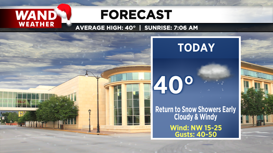

DECATUR, IL. (WAND) - Happy Wednesday! We’re halfway through the week and at the start of a cooler trend through the rest of this week.

Overnight rain has pushed out of the region, and in its wake, a few isolated showers that will be transitioning to snow showers as temperatures continue to drop throughout the morning. Gusty winds may create hazardous travel conditions due to limited visibility.

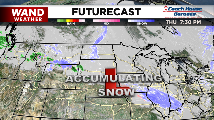
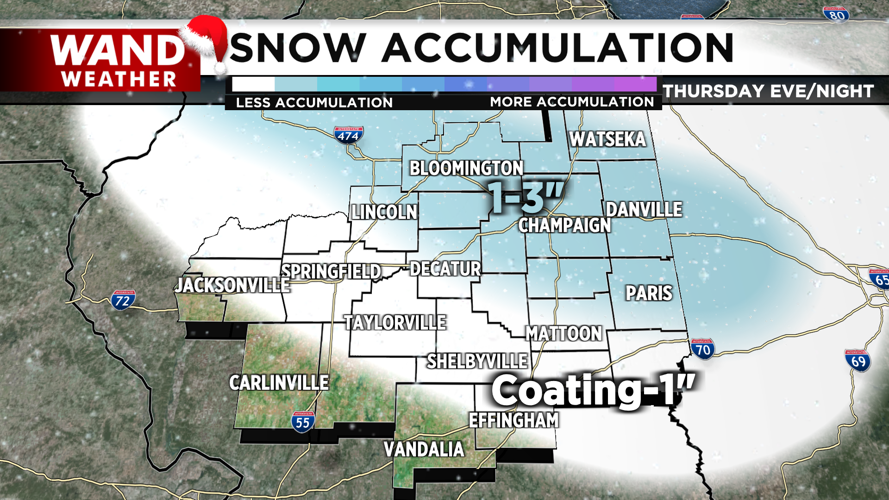
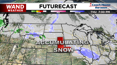
Behind this, we gradually dry out and winds will calm down. Another clipper system is on the way with chances for accumulating snow. We’re tracking a coating for areas along I-72 and southeast, and a few inches farther northeast.

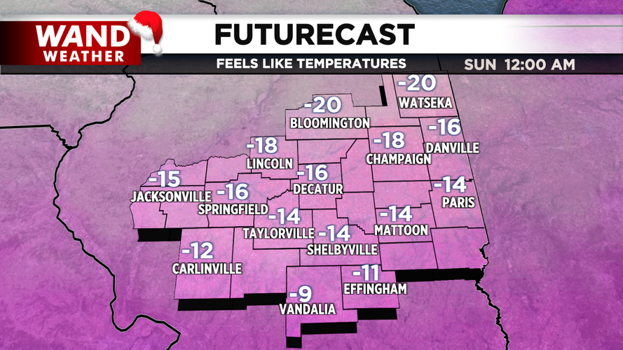
Behind this, another plunge of cold air will bring dangerously cold temperatures and wind chill temperatures to our weekend.
Copyright 2025. WANDTV. All Rights Reserved.


