WAND- The WAND Weather Team is tracking the potential for strong to severe weather.
Meteorologist Phil Collins said strong to severe storms are possible across Central Illinois midday Thursday, bring the potential for large sized hail and strong winds.
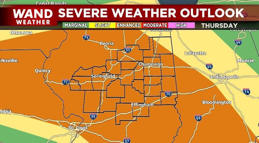
Storm Prediction Center issued an Enhance Risk (Level 3 of 5) for the majority of Central Illinois as storms are expected to roll through during the lunch hours.

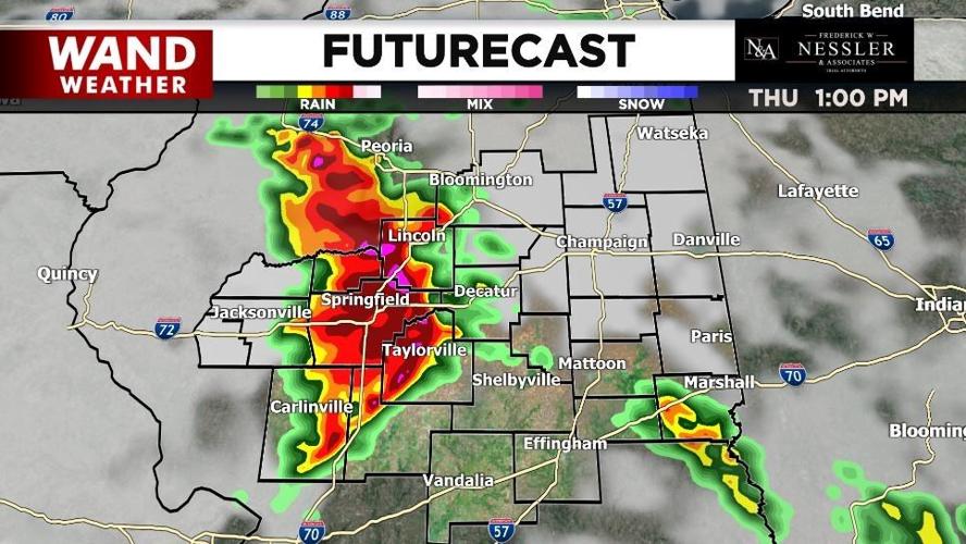
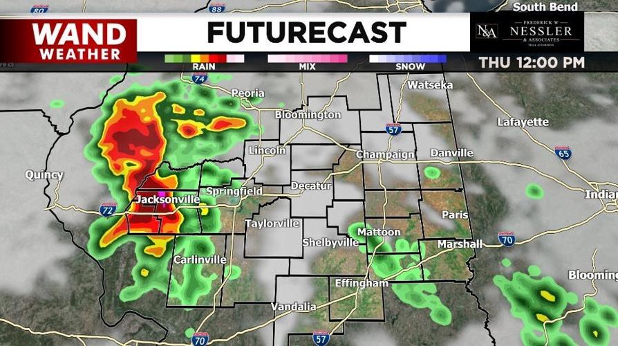
Kickstarting around 11 am, storms will roll through the Jacksonville area around noon and eventually towards the State Capital.

While a cluster of storms may look intimidating, it’s going to be a few individualized storms that have some intense moments, bring hail, strong winds, and possibly even tornadic activity (low threat) along with it.

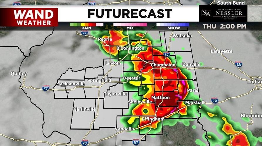
This cluster of storms may be a bit smaller in size, but should be relatively quick moving. They should be knocking on the doorstep of I-57 by early afternoon (2 pm) to midafternoon (3 pm).

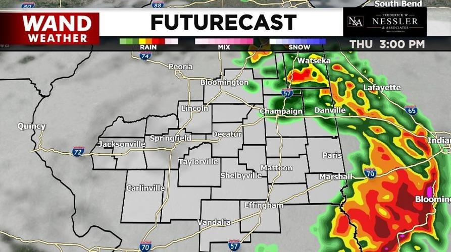
Just as quickly as they entered, they should exit. Guidance suggests an exit time ranging from the earliest of 3 pm to the latest of 6 pm. While quick, they could pack a punch with little notice to some.
For the latest in your forecast, download the WAND Weather App. You can find it on Google Play and the Apple App Store, just type in “WAND WX” in the search bar.
Copyright 2023. WANDTV. All Rights Reserved.


