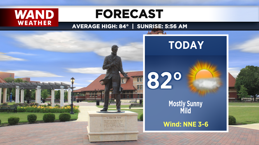


DECATUR, IL. (WAND) - The week is starting on a pleasant note with mild temperatures and plenty of sunshine — but changes are on the way by midweek.
Monday: Fog Early, Then Sunshine
Expect a calm Monday morning with temperatures in the low 60s and dense fog in some areas. If you're heading out early for your commute, take your time on the roads. The fog should burn off by mid-morning as mostly sunny skies take over.
By afternoon, you'll enjoy mild temperatures in the low 80s with low humidity — a perfect day to be outside. Tonight, temperatures will drop into the low 60s under mostly clear skies.
Tuesday: Warming Trend Continues
Tuesday looks even warmer with plenty of sunshine throughout the day. High temperatures will reach the mid-80s by afternoon, with feels-like temperatures in the upper 80s. It's another great day to enjoy the outdoors before the weather pattern shifts.
Wednesday: Storms Move In
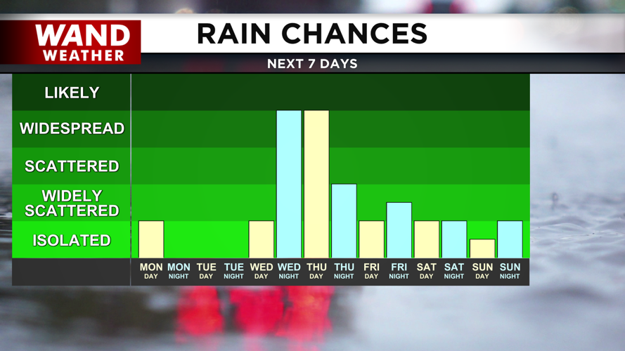
A cold front approaching from the west will bring changes to our weather pattern on Wednesday. A few spotty storms are possible early in the day, but most of Wednesday should remain dry with high temperatures in the mid-80s.
The real story unfolds in the evening. Storm chances will ramp up significantly through Wednesday evening and into Thursday morning, with widespread showers and storms expected overnight. West Central Illinois is under a marginal risk for severe storms, so stay weather aware.
Thursday: Rainy and Cooler
Rain chances will linger through most of Thursday, keeping temperatures cooler in the upper 70s and low 80s.
Copyright 2026. WANDTV. All Rights Reserved.


