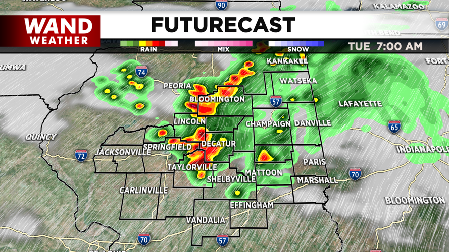
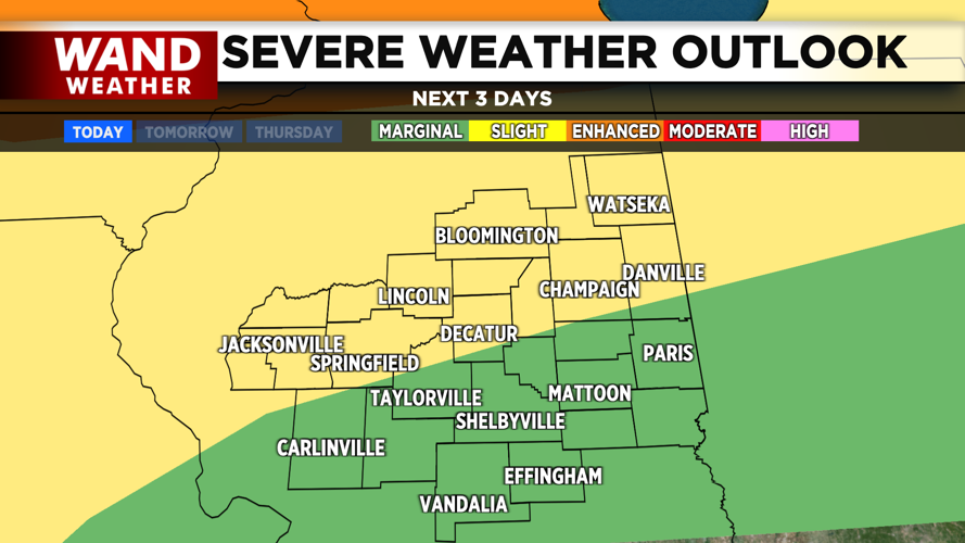


DECATUR, IL. (WAND) - Happy Tuesday! It will be an active morning as storms move through Central Illinois. Strong-to-severe storms will linger into the 8 am hour. The wind and hail threat will be the main concerns as these fast-moving storms move from west to east across the region. These storms are being fed by warm air out of the southwest.
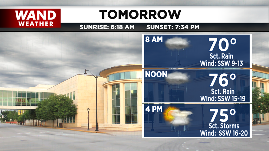
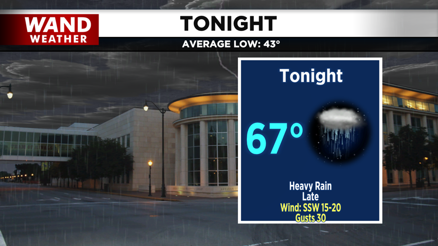
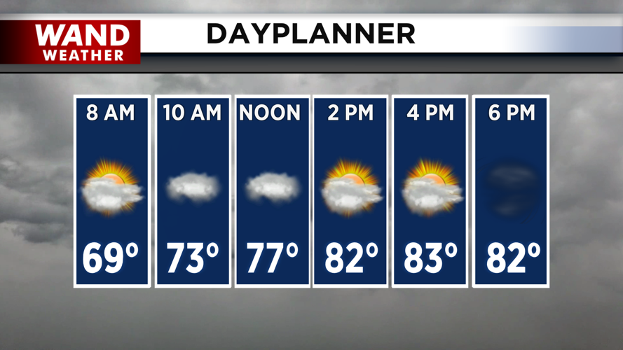
Temperatures will warm up quickly behind these morning storms. High temperatures this afternoon will climb into the mid-80s. Temperatures will stay warm overnight as another round of showers and thunderstorms rolls into Illinois. These storms should exit by 5 am on Wednesday.
Another round of severe thunderstorms is possible through Wednesday morning. Storms will be hit-or-miss through the afternoon on Wednesday, but any that develop have the potential to be strong to severe.
Rain should exit by Thursday afternoon, but the warm and muggy feel will linger through Friday evening. A cold front will push into Central Illinois Friday night into Saturday. This will bring in heavy rain and a few storms for Saturday morning. The severe threat here looks low, but some heavy rain could cause some issues.
Temperatures will finally cool off behind the rain on Saturday morning. Temperatures will drop into the low 40s by Sunday morning. Temperatures will be much closer to average next week in the 60s and low 70s.
Copyright 2026. WANDTV. All Rights Reserved.


