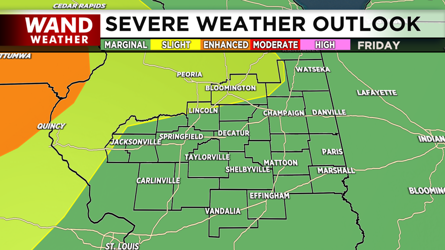
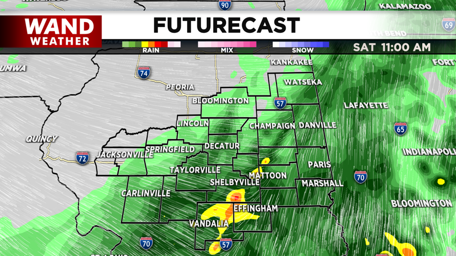


DECATUR, IL. (WAND) - Happy Friday! The severe weather threat stayed further north and west yesterday. We have one final shot of severe storms this afternoon and evening before calmer conditions take over for early next week. The biggest threat for severe storms is again further west, but we are at a marginal (level 1 out of 5) risk this afternoon and overnight.
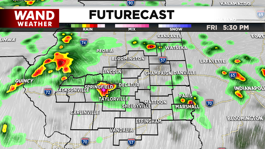
Temperatures are warm this morning in the 60s. Highs will warm up into the mid to upper 70s this afternoon with mostly cloudy skies. Scattered storm chances will move from south to north this afternoon. The biggest threat will be isolated tornadoes, but most of the area will miss out on these storms.
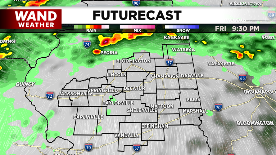
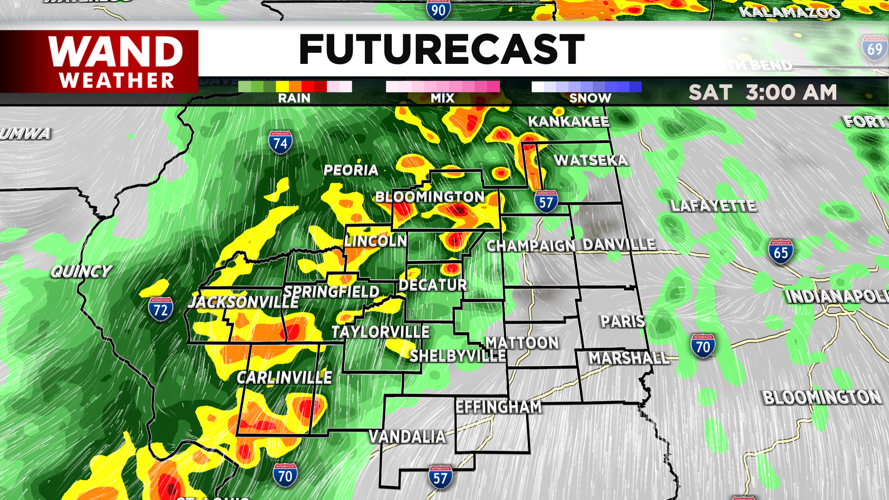
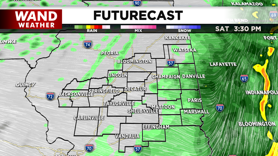
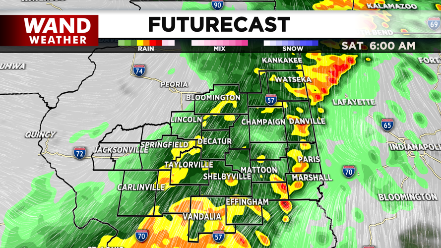
A cold front will move in from the west overnight tonight. Storm chances will ramp up after midnight. This will feature heavy rain and gusty winds. The intensity of these storms will weaken as they move eastward, leaving the area with steady showers through Saturday morning. These showers could leave a general half inch to an inch of rain before they exit Saturday afternoon.
Temperatures will cool throughout the day on Saturday. Temperatures will drop from the 60s to the 50s by the afternoon. This will lead to much cooler temperatures in the 30s for Easter Sunday morning. Sunday will be sunny but chilly as temperatures will warm into the low 50s by the afternoon with winds out of the northwest.
Dry conditions will hang around through most of next week as temperatures warm up into the 60s and 70s. Have a great weekend!
Copyright 2026. WANDTV. All Rights Reserved.


