

DECATUR, IL. (WAND) - Another pleasant day is in store for Central Illinois, but Mother Nature has a curveball coming this evening.
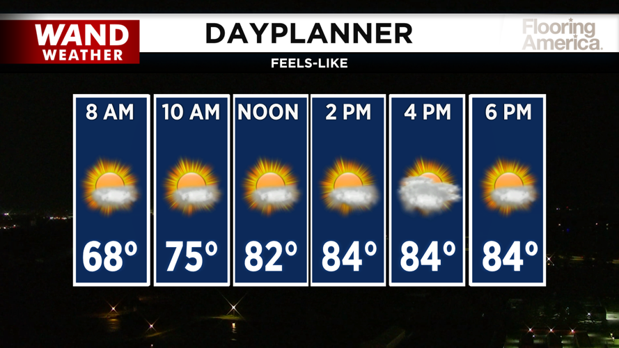
Tuesday will start refreshingly cool with temperatures in the low 60s — one of the coolest mornings we've seen in a couple of weeks. Temperatures will warm steadily throughout the day, climbing to the low 80s by afternoon under mostly sunny skies.
Evening and Overnight: Storm Chances Increase
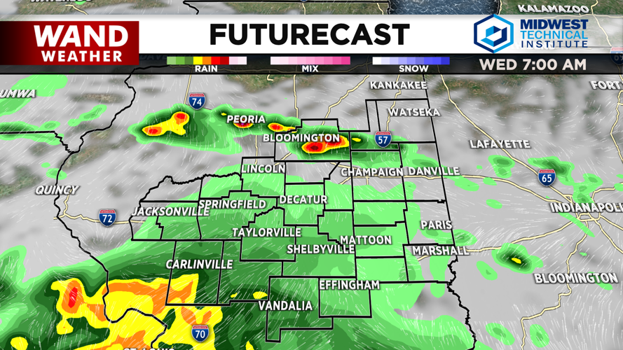
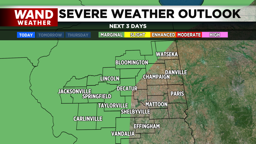
A few isolated storms could develop this evening, but the main event arrives overnight. The Storm Prediction Center has placed the western half of Central Illinois under a marginal risk for severe weather. While short-range models show minimal activity, other forecast models suggest storms could move through the area, with the primary threat being strong wind gusts from any thunderstorm cells that develop.
Scattered showers could linger overnight into Wednesday morning, so don't be surprised if you wake up to wet conditions.
Wednesday and Beyond
Wednesday will be more overcast with high temperatures hovering around 80 degrees. Scattered showers and a few hit-or-miss storms could persist through the afternoon.
Thursday looks similar with a mix of sun and clouds and highs near 80 degrees. Temperatures will remain steady, and rain chances should stay south of I-70.
Friday will be slightly cooler with highs in the low 80s, just below average for this time of year. Evening and overnight rain chances could return, but no severe weather is expected.
The weekend is shaping up nicely with mild conditions and temperatures in the low 80s to upper 70s.
Copyright 2026. WANDTV. All Rights Reserved.