
DECATUR, IL. (WAND) - A change-up in the weather pattern is on the horizon for central Illinois.
Our next weather maker will bring showers and storms back to the forecast tomorrow afternoon and evening, and it kicks off a rainy streak through the rest of the work week.
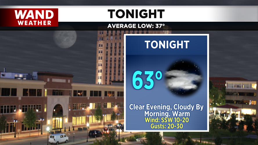
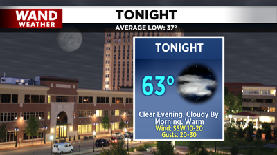
The warm front associated with this system slides north tonight, which will keep us warm for another day through Tuesday afternoon. This, along with continued strong southwesterly winds, will keep lows tonight in the low 60s under the increasing clouds and highs tomorrow in the low 80s.

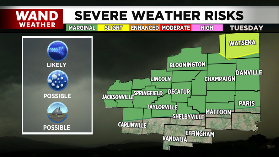
A marginal risk for severe weather is in place for areas along I-72 and north tomorrow. The main concern is severe wind gusts; however, small hail and areas of ponding under heavy thunderstorms shouldn’t be ruled out.
Copyright 2026. WANDTV. All Rights Reserved.


