
DECATUR, IL. (WAND) - The summer heat wave is officially intensifying as a powerful ridge of high pressure takes complete control of our weather pattern.

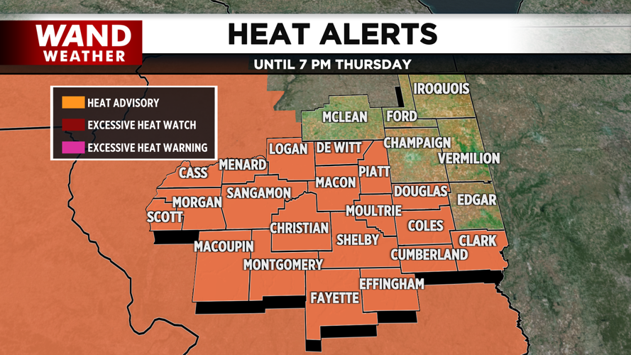
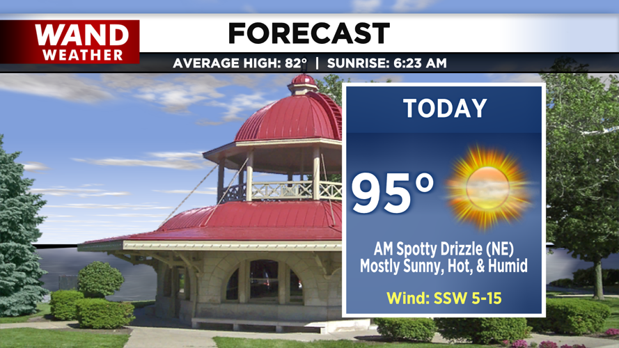
This stagnant setup is ushering in humid air and soaring temperatures, prompting a Heat Advisory that goes into effect at noon today and remains active through Thursday evening. Highs this afternoon will top out in the low to mid-90s under mostly sunny skies, made to feel much hotter by the high humidity levels despite a very light, gentle breeze.
Relief will be hard to find tonight as the muggy air mass remains firmly in place. Expect mostly clear skies with low temperatures only bottoming out in the mid-70s. With a persistent light breeze and elevated humidity, the overnight hours will offer very little cooling, keeping a high baseline of heat stress on the body heading into tomorrow.

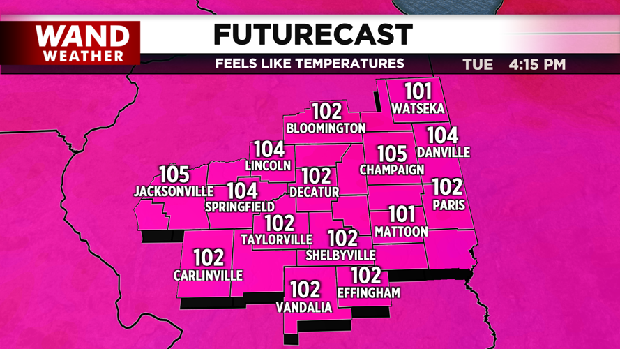
Tuesday will bring even hotter conditions as high pressure continues to dominate, pushing afternoon highs into the mid-to-upper 90s. Plentiful sunshine will bake the region, and we can expect nearly identical, oppressive temperatures to persist throughout the midweek. Relief remains far off on the horizon, with our next realistic chance for rain and cooler air holding off until the weekend.
Copyright 2026. WANDTV. All Rights Reserved.


