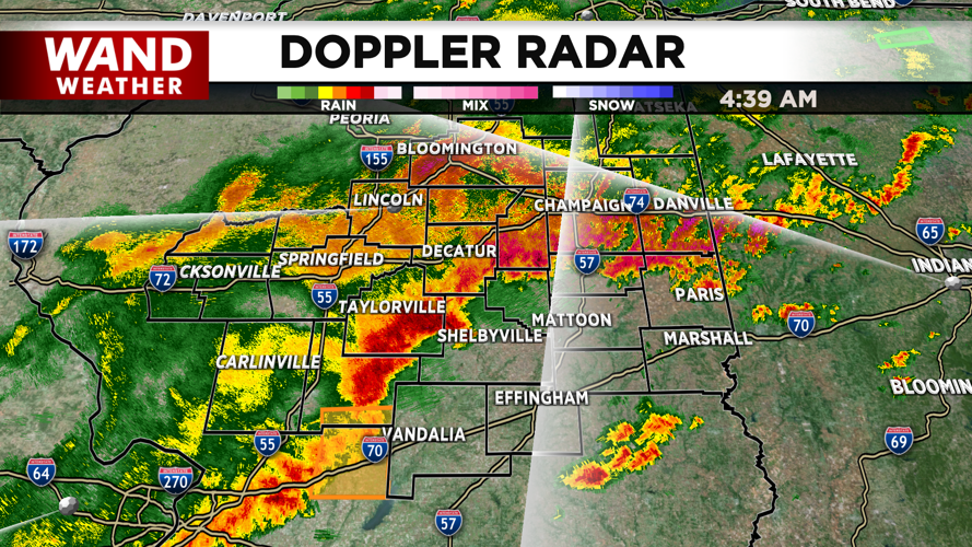
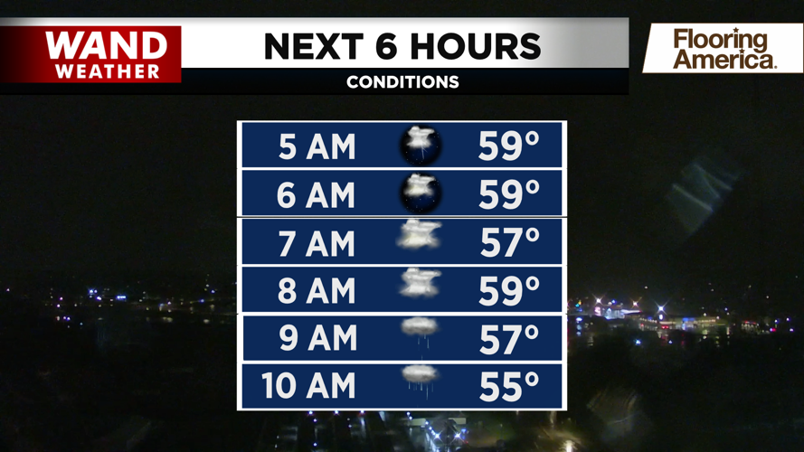


DECATUR, IL. (WAND) - Heavy showers and thunderstorms are hanging around Central Illinois through the morning, but the severe weather threat has wrapped up for the day. Expect rain to continue into the early afternoon. There is a flood advisory in effect due to the heavy rain, so be careful around low-lying areas near rivers and lakes.


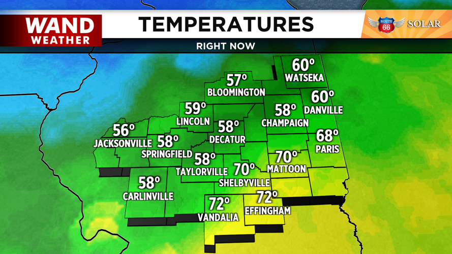
Temperatures today will be going to wrong direction. Some areas this morning were in the 70s ahead of the storms, and most of Central Illinois will drop into the 40s by the afternoon as the cold front moves further southward. Winds will be gusting out of the northwest through the evening. Temperatures will keep dropping overnight as clouds clear out of the way.


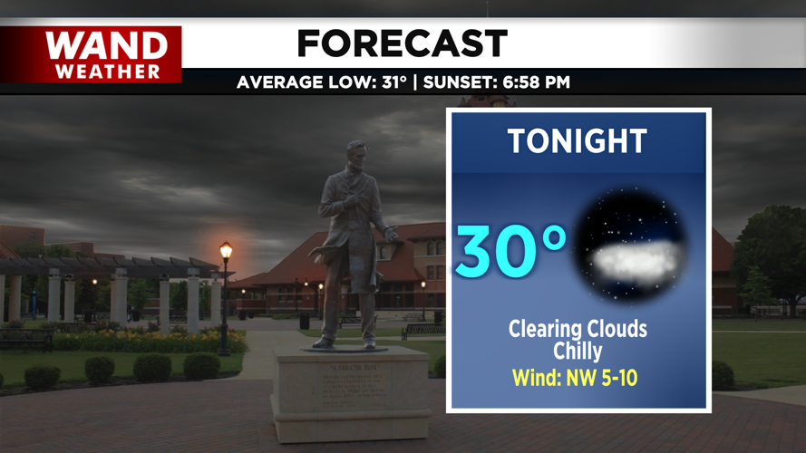
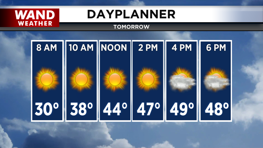
Overnight lows will drop into the low 30s with a sunny start to Thursday. Temperatures will be much lower behind these storms, with highs in the 50s for the rest of the week. Another shot of rain and snow mix will move in for the weekend. The winter feel returns next week with highs staying in the low 30s. Warmer temperatures should return next weekend.
Copyright 2026. WANDTV. All Rights Reserved.


