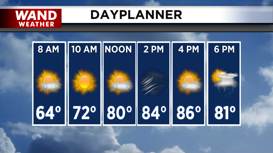


DECATUR, IL. (WAND) - Record-breaking heat will lead to chances of severe storms for the evening. Temperatures will soar into the upper 80s this afternoon with strong gusty winds out of the south. This will shatter record highs across the region. An approaching cold front will trigger strong to severe storms this evening. The timing of this will happen in a few waves.
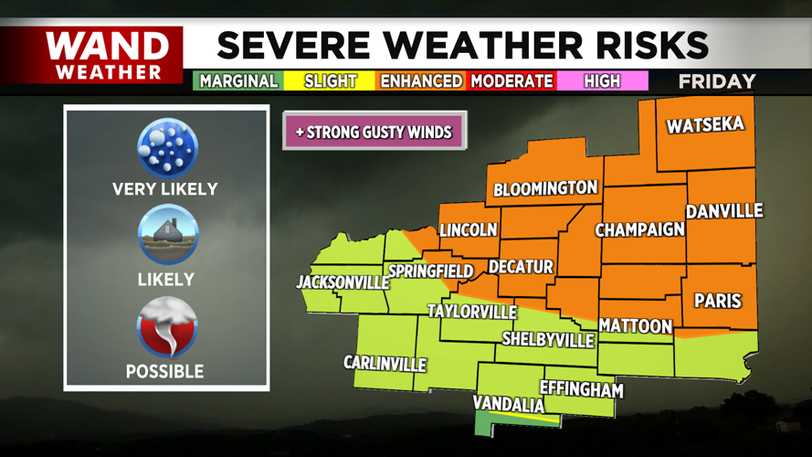
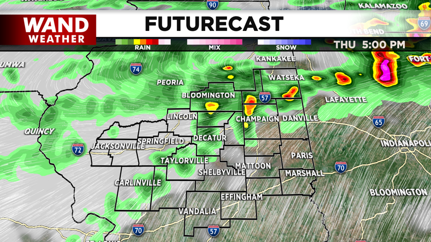
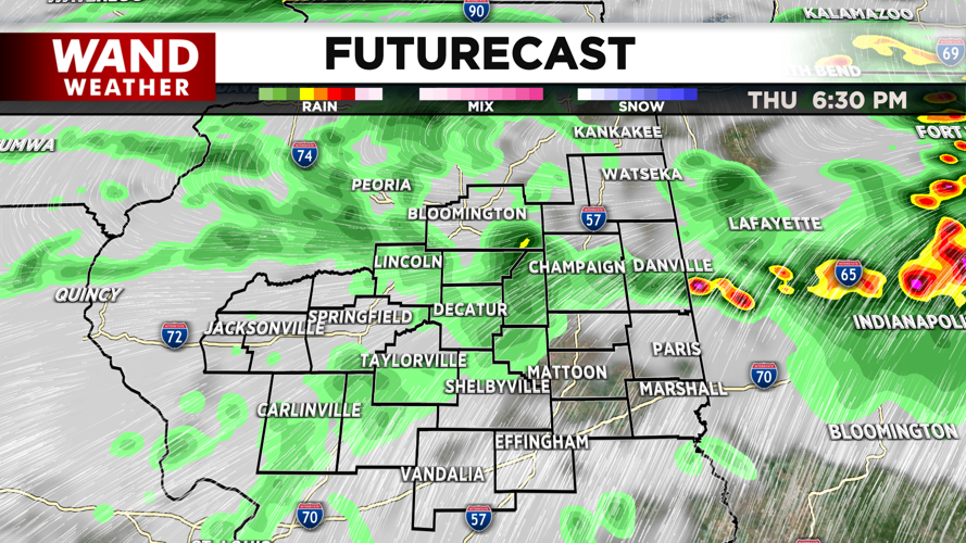
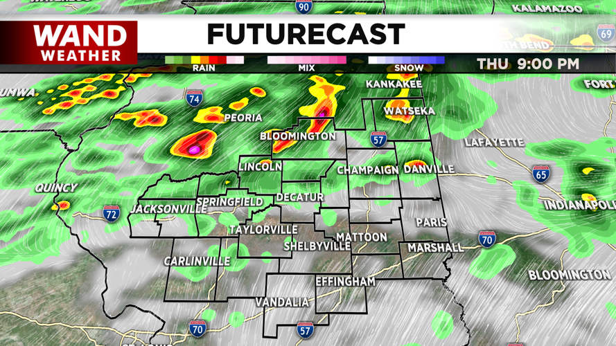
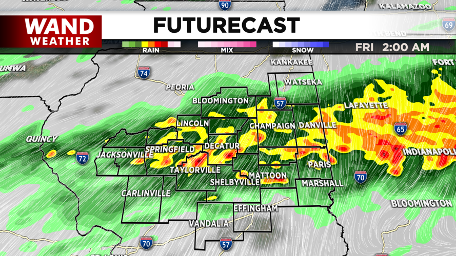
The initial chance of severe storms will take place from 4 to 8 pm. This will be in the area north of a line from Havana to Southern Champaign County. Supercells are likely to develop in this area, and all modes of severe weather will be possible.
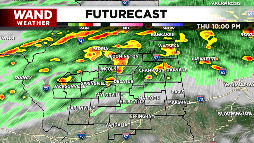
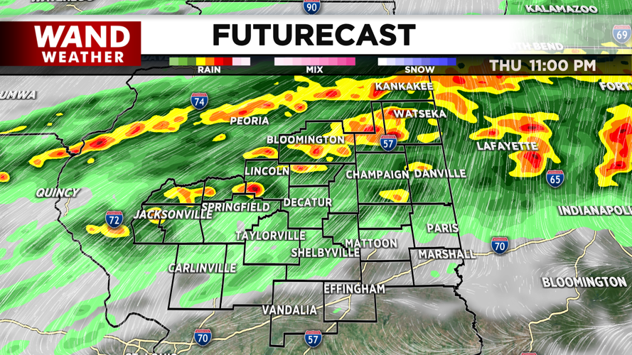
The second area of concern will be between I-72 and I-74. Scattered supercells will be possible from 5-8 pm. Widespread strong storms will continue in this area until midnight before weakening and moving out.
The last area of concern will be south of I-74. A few storms capable of producing severe weather will be possible before 9 pm.
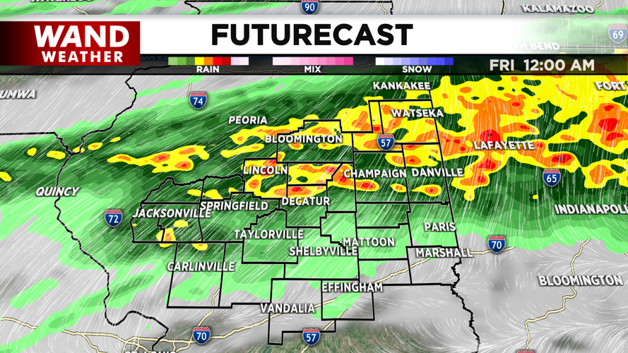
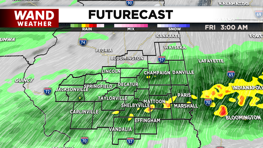
Storms will weaken across Central Illinois after midnight as they move southward. Hail and wind are the biggest threats with this system. While tornadoes are possible, the best chance for them to develop would be before 8 pm.
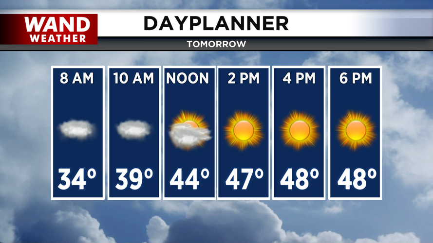
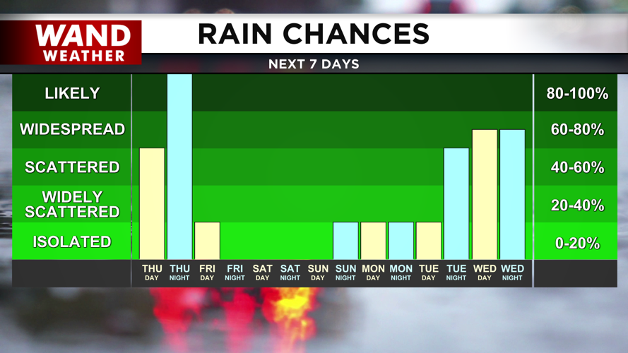
Temperatures will plunge behind these storms. We will wake up in the 30s on Friday morning behind the cold front. High temperatures will be much closer to average, with highs in the upper 40s on Friday. A steady warming trend will take over through next week with high temperatures back in the 70s by Monday.
Copyright 2026. WANDTV. All Rights Reserved.


