
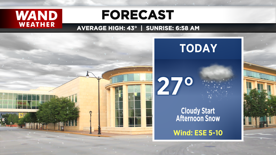


DECATUR, IL. (WAND) - Happy Monday and December! It’s the start of Meteorological winter, and we’re starting off the season with a bang!

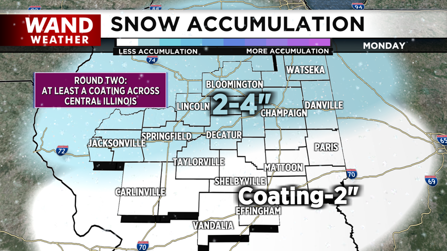
Cloudy skies this morning are ahead of widespread snow that arrives this afternoon. A fast-moving, weak area of low pressure skirts by to the south, and cold dry air in place will set us up for a coating of powdery snow across Central Illinois. A Winter Weather Advisory is in place for most of the region.

As snow continues through the afternoon and evening, a coating of snow could easily cover the region. On the high end, a few home towns may peak above 3 inches or even flirt with the 4 inch mark.

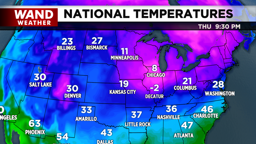
Behind the snow, temperatures are on the decline. We’ll be well below average for the majority of this week. After a weak cold front rolls through Wednesday, a plunge of frigid air will move in for Thursday, potentially bringing sub-zero conditions.
Copyright 2025. WANDTV. All Rights Reserved.


