
DECATUR, Ill. (WAND) - Good morning and happy Tuesday!
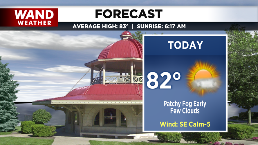
High pressure remains in control of our weather today, but a noticeable shift in the wind direction is already underway. Positioned in the warm sector of an approaching system, a steady southerly flow is drawing warmer and more humid air into the region. Afternoon highs will climb into the low 80s under partly cloudy skies by late afternoon, setting the stage for a muggier night ahead.
Tonight, increased cloud cover will act as a blanket, keeping our low temperatures mild in the mid-60s. The added moisture in the lower levels of the atmosphere could squeeze out a few pockets of drizzle overnight. However, any dampness will be short-lived, with most areas drying out by Wednesday morning.
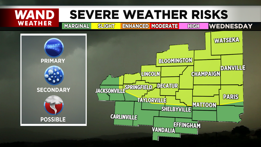
Wednesday will start quiet and mostly sunny as temperatures quickly surge into the mid-80s. The calm weather will not last, as a cold front is set to arrive by the late afternoon, triggering a broken line of strong to severe storms.

The Storm Prediction Center has already placed the area under a slight risk for severe weather. The primary hazards with these storms will be damaging wind gusts and hail, though an isolated tornado cannot be entirely ruled out despite a lower overall tornado risk. Residents should monitor the forecast closely as this active weather window approaches.
Copyright 2026. WANDTV. All Rights Reserved.