

DECATUR, Ill. (WAND) - Happy Tuesday! The summer heat and humidity continues today, and scattered thunderstorms are on tap for this evening.
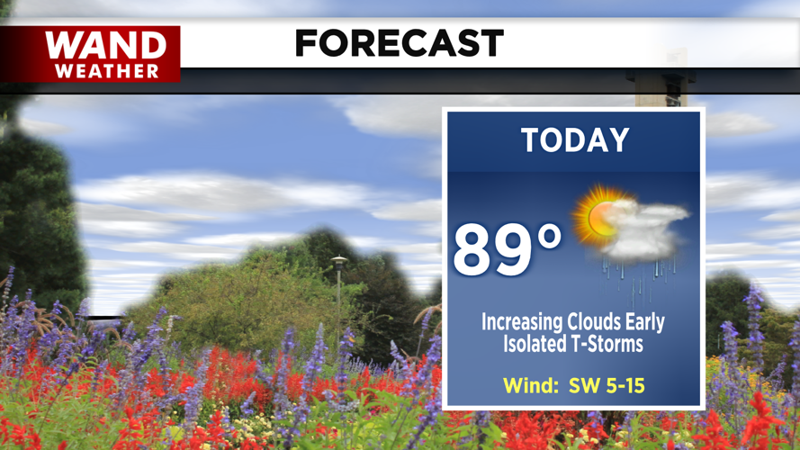
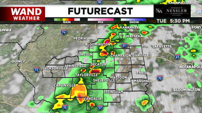
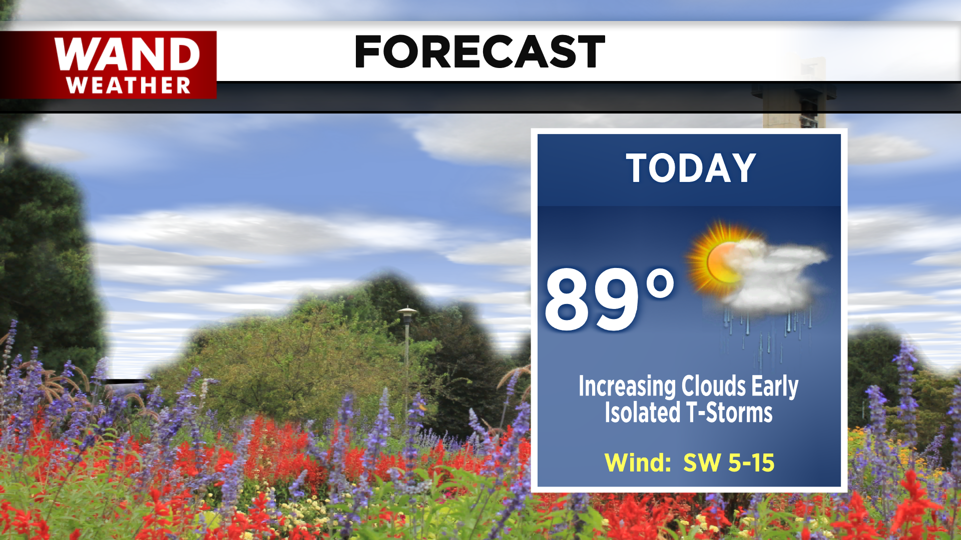
We start the day with partly cloudy skies and spotty showers. However, clouds will continue to build in ahead of the cold front that we've been tracking for the last few days. This front will leave us with isolated showers early, and scattered thunderstorms by the late afternoon. Temperatures will warm up to the upper 80s again.
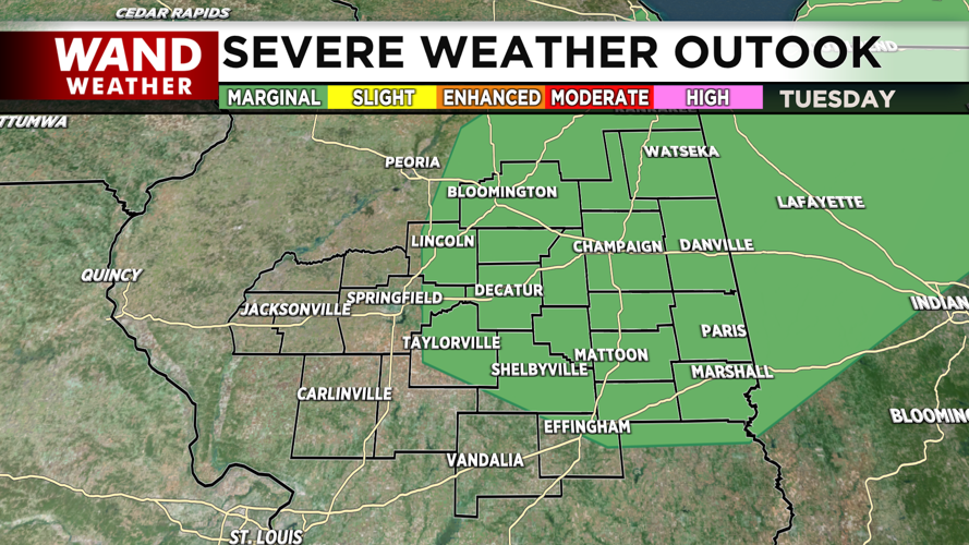
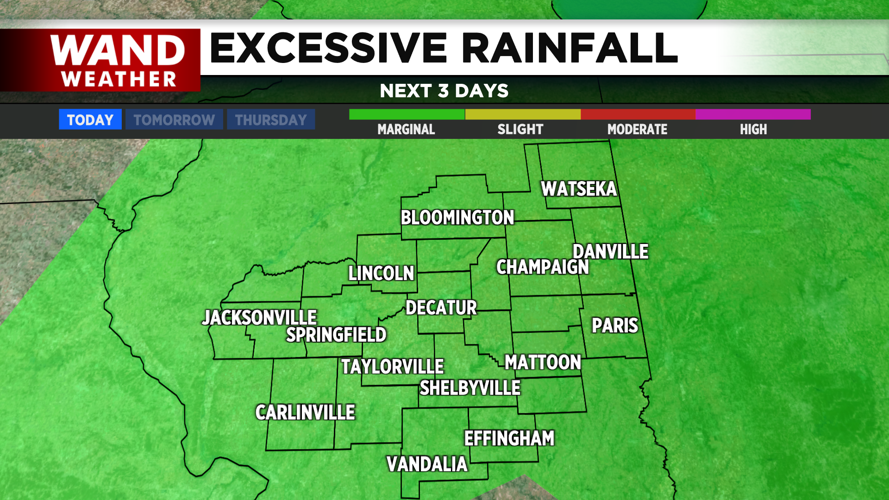
Much of the NE portion of the region is under a marginal risk for severe thunderstorms, mainly for the chance of strong gusty winds. We also have an area-wide marginal risk for excessive rainfall, or flash flooding. Heavy downpours leading to ponding over areas with poor drainage will be a concern wherever the heaviest storms set up.


By tonight, thunderstorms will slowly be tapering off. We'll hang onto showers until around midnight, before returning to quiet and cloudy skies. Temperatures dip into the upper 60s and low 70s.
While drier and slightly cooler air returns overnight and into wednesday, clouds will linger into the midday. This will likely affect our already meager viewing conditions for the Perseids meteor shower. However, we may be able to return to clearing skies by tomorrow night, so you still have a chance! Due to the glare from the moon, for the best view, you'll need to look to the north and keep the moon to your back. Stay safe today and happy viewing!
Copyright 2025. WANDTV. All Rights Reserved.


