

DECATUR, IL. (WAND) - Happy Saturday! We are kicking off the weekend with sunshine, but ending it with another round of heavy rain and thunderstorms.
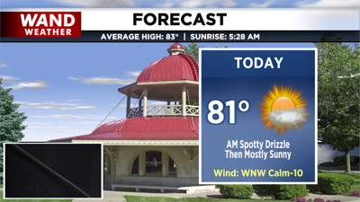
High pressure is in control today. Aside from some morning clouds and spotty drizzle thanks to a nearby disturbance, we’ll return to mostly sunny skies this afternoon and temperatures in the low 80s.

Tonight, we remain quiet and partly cloudy, but showers arrive as early as overnight into Sunday morning. We’ll be waking up to heavy rain moving in with a warm front associated with our next low. As we head into midday, heavy rain and thunderstorms will ramp up, and severe weather potential will ramp up as well.


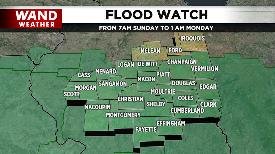
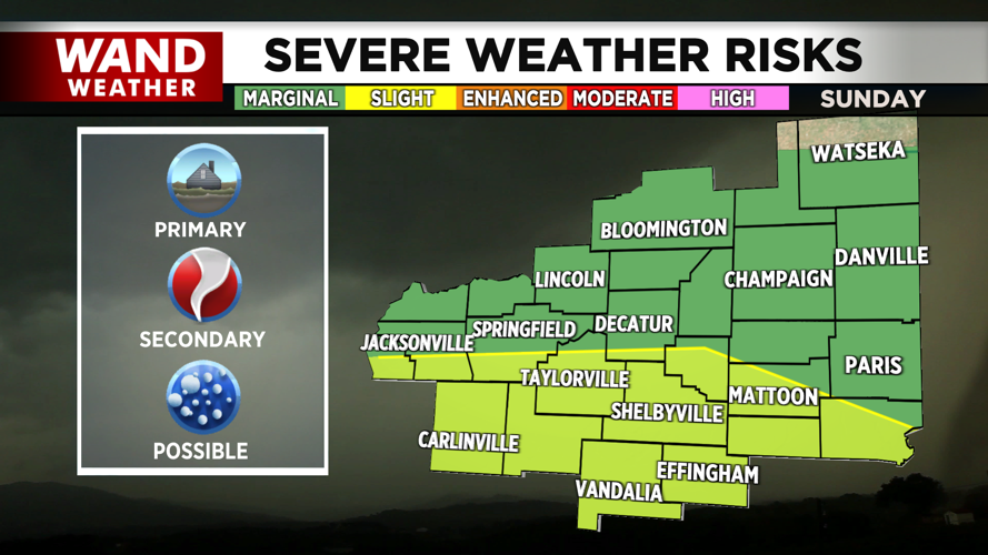
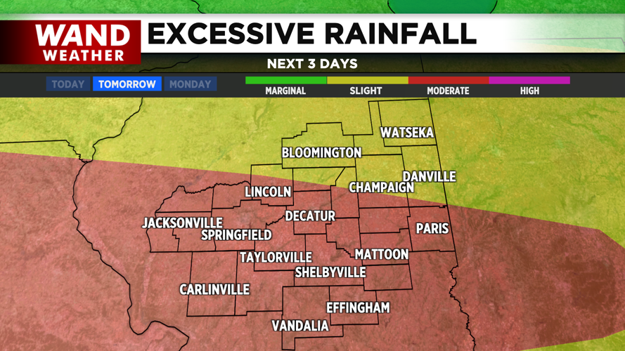
Our greatest concern will be regarding flash flooding with heavy rainfall expected through the morning and afternoon. A Flood Watch is already in effect for most of the region throughout the day tomorrow. The highest potential for tornadoes will be just after noon and mainly south of I-72. There is still low confidence in if the atmosphere will be able to support tornadic activity after morning rainfall, but with other favorable ingredients in play, we’ll continue to closely monitor the forecast leading up to the arrival of the storms.
Copyright 2026. WANDTV. All Rights Reserved.


