
DECATUR, IL. (WAND) - Good morning and happy Saturday! Heat and humidity are building up this weekend, along with thunderstorm chances.
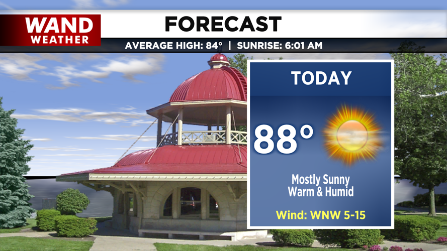
High pressure remains in firm control of our weather today, keeping skies mostly sunny and delivering afternoon highs in the upper 80s. With humidity factoring in, it will feel like the low to mid-90s for many of us. Expect a clear start to the evening before clouds increase overnight. A weak front is scheduled to slide through the region; however, with dry air locking out moisture, we expect a dry frontal passage with overnight lows dropping into the upper 60s.

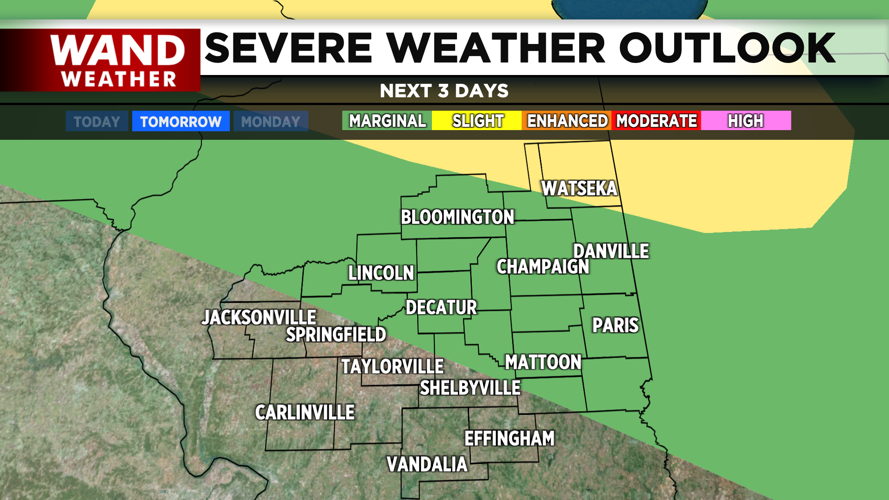
On Sunday, we'll see a mix of sun and clouds with high temperatures once again warming into the upper 80s and heat indices pushing back into the 90s. While most of the day will remain dry, an isolated afternoon pop-up thunderstorm cannot be ruled out. The main weather maker arrives late Sunday night as an energetic shortwave ripples through, bringing a round of scattered, potentially strong thunderstorms to the area.

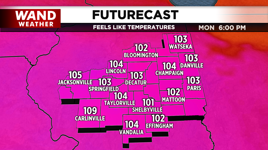
The peak of the heat and humidity arrives on Monday, setting the stage for an oppressive start to the workweek. Highs will climb into the low 90s, but high humidity will push feels-like temperatures into the 105-degree zone, likely necessitating a Heat Advisory. A fresh round of storms is expected to develop late Monday night, kicking off an unsettled, active weather pattern that will keep on-and-off storm chances in our forecast through the rest of the week.
Copyright 2026. WANDTV. All Rights Reserved.


