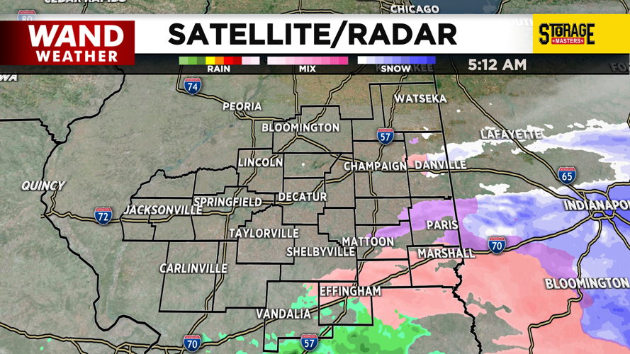
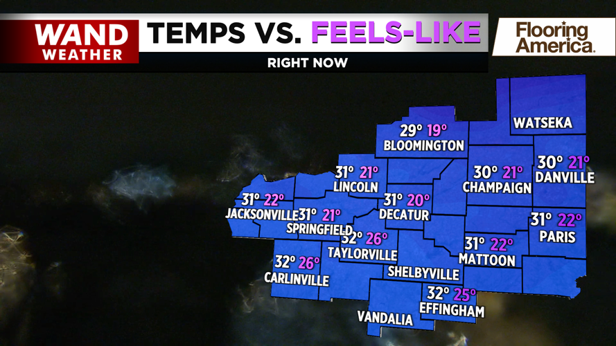


DECATUR, IL. (WAND) - Happy Monday! It was an unsettled start to the week as rain and snow mixed with some light icing early this morning. The bulk of the moisture has already moved out of Illinois, and the surface temperatures are very close to warming above freezing. Road conditions look manageable, but watch out for slick spots on overpasses for the next few hours.
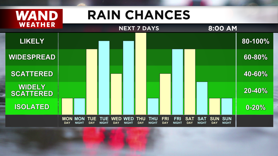
Temperatures will warm up into the 40s this afternoon with overcast skies. This is where we should be for early March. Rain chances will hold off until the overnight hours. Steady rain is expected to move in through Tuesday. Some thunderstorms are possible, but these should stay well below severe weather limits.
Rain chances will continue through the week as temperatures warm up into the 60s. Above-average temperatures will hang around through the weekend. The warm and unsettled weather pattern could continue through next week.
Copyright 2026. WANDTV. All Rights Reserved.


